Trail Walking Eygluy-Escoulin - Le Taillefer - Escoulin-18969835 - Photo

Le Taillefer - Escoulin-18969835

© OpenStreetMap contributors
Length
Length
8.4 km
Max alt
Max alt
921 m
Uphill gradient
Uphill gradient
431 m
Km-Effort
Km-Effort  
14.1 km
Min alt
Min alt
504 m
Downhill gradient
Downhill gradient
426 m
Boucle
Boucle
Yes
Creation date :
2024-05-12 07:18:35.367
Updated on :
2024-05-12 11:50:52.318

(0 Reviews)

Walking
Walking
4h00
Difficulty : Medium

Scan this QR Code to open this trail in the SityTrail application

FREE GPS app for hiking

Logo SityTrail SityTrail

IGN / Geographical institutes

Download SityTrail from the App Store Download SityTrail from Google Play

Logo SityTrail SityTrail World

The world is yours!

Download SityTrail from the App Store Download SityTrail from Google Play Download SityTrail on Huawei AppGallery

About

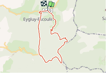
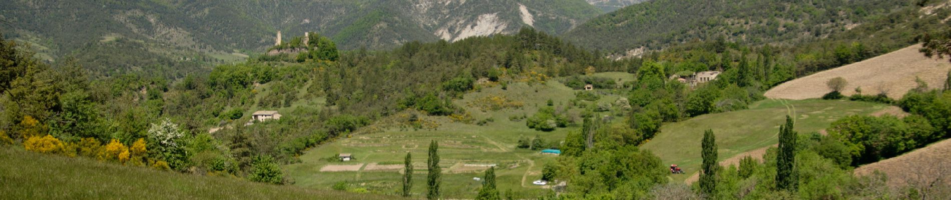
Trail Walking of 8.4 km to be discovered at Auvergne-Rhône-Alpes, Drôme, Eygluy-Escoulin. This trail is proposed by Philindy26.

Description

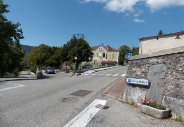
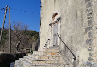
Départ du village d'Escoulin (510 m).
Géolocalisation (Google Maps) : https://maps.app.goo.gl/THEnPyc6vEb6gx8j9

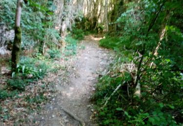
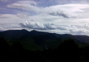
En suivant les indications du balisage GRP Jaune et Rouge, nous gravissons les pentes de Beauverre et de la Côte Marnier jusqu'au col de Fonteuse (817 m).
Puis, nous poursuivons notre parcours par le Chemin du Bruchet jusqu'à Combe Sourde (860 m). Enfin, nous empruntons la direction du col de Vachères pour effectuer la dernière montée jusqu'au sommet du Taillefer (932 m).
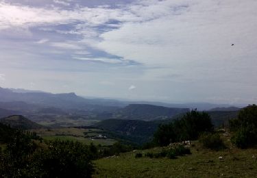
Pour le retour, nous redescendons par le col de Vachères, Mouret, Grangeon et rejoignons finalement le village d'Escoulin.

Elevation profile

Photos

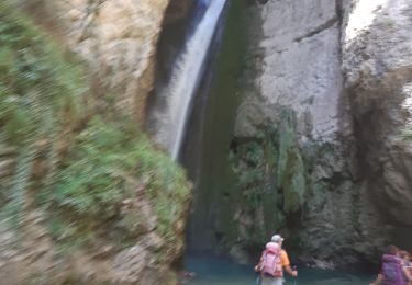
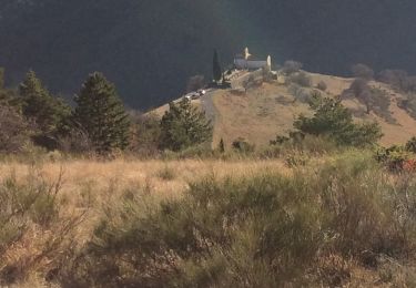
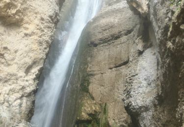
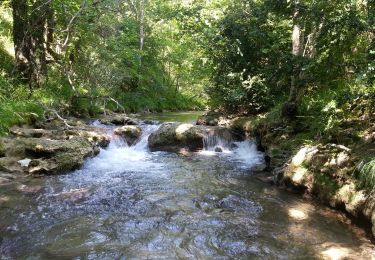
54 photos in total. Please click on a photo to see them all in the gallery.

Positioning

Country:
France
Region :
Auvergne-Rhône-Alpes
Department/Province :
Drôme
Municipality :
Eygluy-Escoulin
Location:
Unknown
Start:(Dec)
Start:(UTM)
675600 ; 4963450 (31T) N.

Trails nearby

Trail Walking Plan-de-Baix - Canyon des Gueulards - Plateau du Vellan  - Photo
Walking
Philindy26

Walking

Medium
Plan-de-Baix, Auvergne-Rhône-Alpes, Drôme, France
18.7 km | 28 km-effort
4h 55min
Yes
Trail Walking Plan-de-Baix - Le Canyon des Gueulards - Photo
Walking
AIGUIER

Walking

Difficult
Plan-de-Baix, Auvergne-Rhône-Alpes, Drôme, France
14.2 km | 22 km-effort
4h 27min
Yes
Trail Walking Omblèze - les 3 perles de la servante. - Photo
Walking
Joel26400

Walking

Medium
Omblèze, Auvergne-Rhône-Alpes, Drôme, France
23 km | 35 km-effort
8h 35min
Yes
Trail Walking Eygluy-Escoulin -  Bec pointu - Photo
Walking
ajd26

Walking

Difficult
Eygluy-Escoulin, Auvergne-Rhône-Alpes, Drôme, France
11.2 km | 23 km-effort
3h 39min
Yes
Trail Walking Omblèze - 03 mai 2019 gorge d'ombreze - Photo
Walking
Parodie69

Walking

Medium
Omblèze, Auvergne-Rhône-Alpes, Drôme, France
17.5 km | 28 km-effort
6h 35min
No
Trail Walking Eygluy-Escoulin - 26 escoulin berches ayes - Photo
Walking
himba26100

Walking

Medium
Eygluy-Escoulin, Auvergne-Rhône-Alpes, Drôme, France
11.6 km | 25 km-effort
7h 6min
Yes
Trail Walking Omblèze - F26 Ombleze Chafffal - Photo
Walking
ageo

Walking

Easy
Omblèze, Auvergne-Rhône-Alpes, Drôme, France
9.9 km | 16.9 km-effort
4h 14min
No
Trail Walking Plan-de-Baix - F26 Plan de Baix Vélan - Photo
Walking
ageo

Walking

Medium
Plan-de-Baix, Auvergne-Rhône-Alpes, Drôme, France
10.9 km | 16.1 km-effort
4h 14min
Yes
Trail Walking Eygluy-Escoulin - Balade au long de la Gervanne - Description et photos - Photo
Walking
bob2023

Walking

Easy
Eygluy-Escoulin, Auvergne-Rhône-Alpes, Drôme, France
4.3 km | 6 km-effort
1h 33min
No


Close
My subscriptions