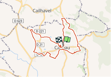


16.9 km | 21 km-effort


User


FREE GPS app for hiking
 SityTrail
IGN / Geographical institutes
SityTrail World
The world is yours!
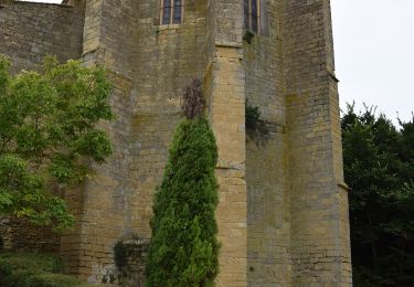
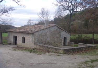
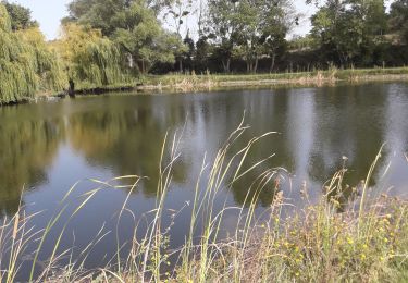
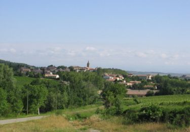
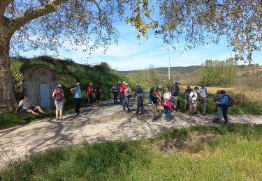
Trail Walking of 9.5 km to be discovered at Occitania, Aude, Cailhau. This trail is proposed by Combaut11.
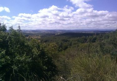
Balade entre vignes, oliveraies, genêts, forêts, et guarriges

Walking
Horseback riding

On foot
Walking
Walking
Cycle
Walking