


PINCERIE EN BOUCLE DEPUIS PIPAY

walrou63
User
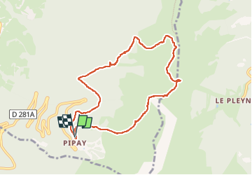

Length
8.9 km

Max alt
1925 m

Uphill gradient
471 m
Km-Effort
15.1 km

Min alt
1497 m

Downhill gradient
471 m
Boucle
Yes
Creation date :
2024-05-12 12:03:21.174
Updated on :
2024-05-12 15:03:30.002
2h18
Difficulty : Difficult

FREE GPS app for hiking
 SityTrail
IGN / Geographical institutes
SityTrail Plus
The world is yours!
About
Trail Walking of 8.9 km to be discovered at Auvergne-Rhône-Alpes, Isère, Theys. This trail is proposed by walrou63.
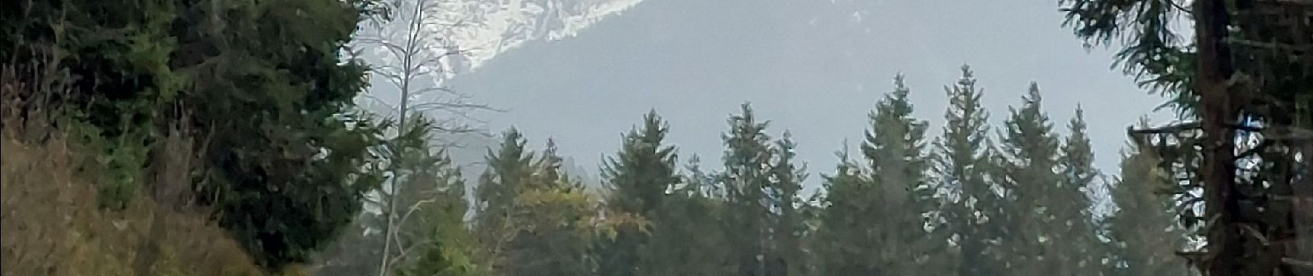
Photos


35 photos in total. Please click on a photo to see them all in the gallery.
Positioning
Country:
France
Region :
Auvergne-Rhône-Alpes
Department/Province :
Isère
Municipality :
Theys
Location:
Unknown
Start:(Dec)
Start:(UTM)
265883 ; 5016828 (32T) N.
Comments