


IRA

sameja
User
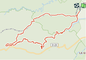

Length
20 km

Max alt
438 m

Uphill gradient
446 m
Km-Effort
26 km

Min alt
122 m

Downhill gradient
447 m
Boucle
Yes
Creation date :
2024-05-12 10:30:17.0
Updated on :
2024-05-12 16:20:54.469
4h55
Difficulty : Difficult

FREE GPS app for hiking
 SityTrail
IGN / Geographical institutes
SityTrail Plus
The world is yours!
About
Trail Trail of 20 km to be discovered at Guadeloupe, Unknown, Petit-Bourg. This trail is proposed by sameja.
Description
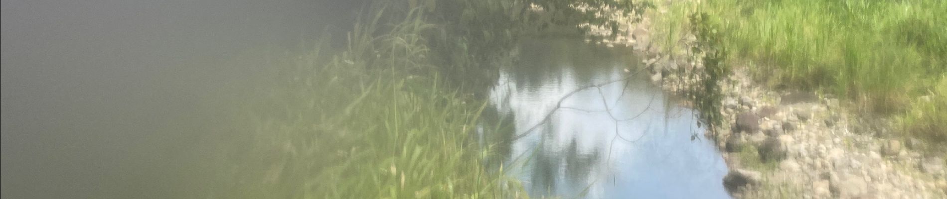
La boucle des mamelles
Photos


Positioning
Country:
France
Region :
Guadeloupe
Department/Province :
Unknown
Municipality :
Petit-Bourg
Location:
Unknown
Start:(Dec)
Start:(UTM)
642634 ; 1792022 (20Q) N.
Comments