


Balade ch de Sine Vence avec Guillaume

GrouGary
User
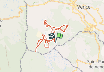

Length
9.5 km

Max alt
351 m

Uphill gradient
172 m
Km-Effort
11.8 km

Min alt
250 m

Downhill gradient
172 m
Boucle
Yes
Creation date :
2024-05-13 09:10:37.385
Updated on :
2024-05-13 15:45:16.259
4h14
Difficulty : Very easy

FREE GPS app for hiking
 SityTrail
IGN / Geographical institutes
SityTrail Plus
The world is yours!
About
Trail Walking of 9.5 km to be discovered at Provence-Alpes-Côte d'Azur, Maritime Alps, Vence. This trail is proposed by GrouGary.
Description
Balade/marche nordique en sous-bois.
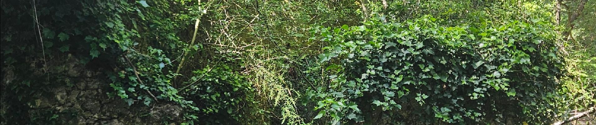
Photos

Positioning
Country:
France
Region :
Provence-Alpes-Côte d'Azur
Department/Province :
Maritime Alps
Municipality :
Vence
Location:
Unknown
Start:(Dec)
Start:(UTM)
346677 ; 4841146 (32T) N.
Comments