


Étape 2 Saint Gilhem

Roger Philippe Wallez
User GUIDE
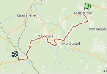

Length
25 km

Max alt
1347 m

Uphill gradient
504 m
Km-Effort
31 km

Min alt
1150 m

Downhill gradient
372 m
Boucle
No
Creation date :
2024-05-13 06:19:43.0
Updated on :
2024-05-13 15:42:53.29
7h57
Difficulty : Very difficult

FREE GPS app for hiking
 SityTrail
IGN / Geographical institutes
SityTrail Plus
The world is yours!
About
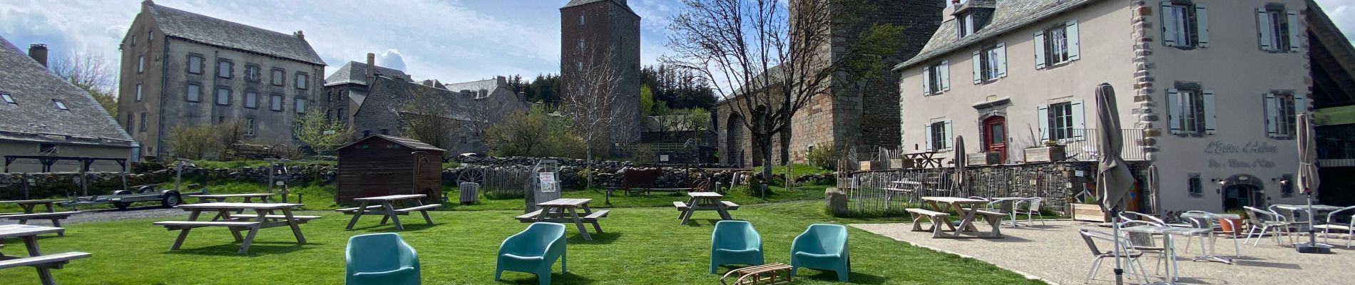
Trail Walking of 25 km to be discovered at Occitania, Lozère, Prinsuéjols-Malbouzon. This trail is proposed by Roger Philippe Wallez.
Photos


Positioning
Country:
France
Region :
Occitania
Department/Province :
Lozère
Municipality :
Prinsuéjols-Malbouzon
Location:
Malbouzon
Start:(Dec)
Start:(UTM)
510720 ; 4949705 (31T) N.
Comments