


Gorges du Bes retour

raymondfn
User
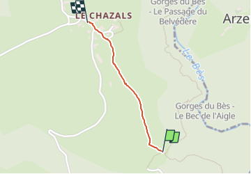

Length
787 m

Max alt
981 m

Uphill gradient
47 m
Km-Effort
1.3 km

Min alt
925 m

Downhill gradient
0 m
Boucle
No
Creation date :
2024-05-16 10:30:52.0
Updated on :
2024-05-16 10:47:12.745
16m
Difficulty : Unknown

FREE GPS app for hiking
 SityTrail
IGN / Geographical institutes
SityTrail Plus
The world is yours!
About
Trail Walking of 787 m to be discovered at Auvergne-Rhône-Alpes, Cantal, Maurines. This trail is proposed by raymondfn.
Description
Retour
Positioning
Country:
France
Region :
Auvergne-Rhône-Alpes
Department/Province :
Cantal
Municipality :
Maurines
Location:
Unknown
Start:(Dec)
Start:(UTM)
507311 ; 4966207 (31T) N.
Comments