


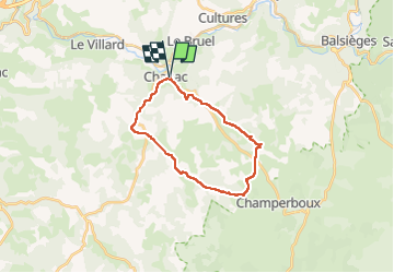

22 km | 27 km-effort


User


FREE GPS app for hiking
 SityTrail
IGN / Geographical institutes
SityTrail World
The world is yours!
Trail Walking of 22 km to be discovered at Occitania, Lozère, Chanac. This trail is proposed by Alain28/01.
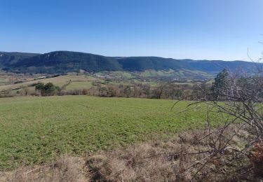
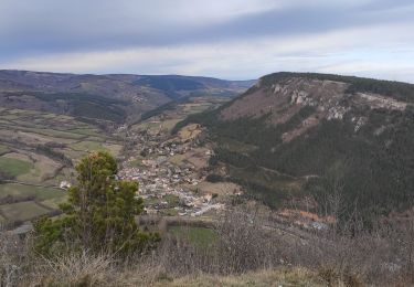
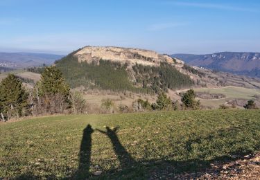
Randonnée au départ de Chanac, à travers le causse de Sauveterre.

Walking

Walking
Walking
Mountain bike
Walking


Walking
Walking