


coyron

loca.yves
User GUIDE
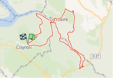

Length
12.8 km

Max alt
563 m

Uphill gradient
322 m
Km-Effort
17.1 km

Min alt
439 m

Downhill gradient
322 m
Boucle
Yes
Creation date :
2024-05-16 08:24:13.91
Updated on :
2024-05-16 13:40:58.764
5h15
Difficulty : Medium

FREE GPS app for hiking
 SityTrail
IGN / Geographical institutes
SityTrail Plus
The world is yours!
About
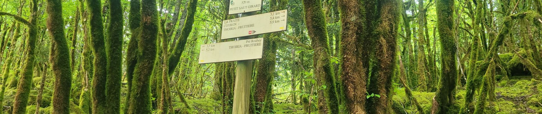
Trail Walking of 12.8 km to be discovered at Bourgogne-Franche-Comté, Jura, Coyron. This trail is proposed by loca.yves.
Photos


Positioning
Country:
France
Region :
Bourgogne-Franche-Comté
Department/Province :
Jura
Municipality :
Coyron
Location:
Unknown
Start:(Dec)
Start:(UTM)
707791 ; 5154567 (31T) N.
Comments