


figuerolles plateau jacky

NADINE52
User
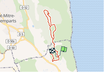

Length
7.2 km

Max alt
141 m

Uphill gradient
109 m
Km-Effort
8.6 km

Min alt
56 m

Downhill gradient
112 m
Boucle
Yes
Creation date :
2024-05-17 08:34:01.62
Updated on :
2024-05-17 10:44:49.165
1h54
Difficulty : Medium

FREE GPS app for hiking
 SityTrail
IGN / Geographical institutes
SityTrail Plus
The world is yours!
About
Trail Walking of 7.2 km to be discovered at Provence-Alpes-Côte d'Azur, Bouches-du-Rhône, Martigues. This trail is proposed by NADINE52.
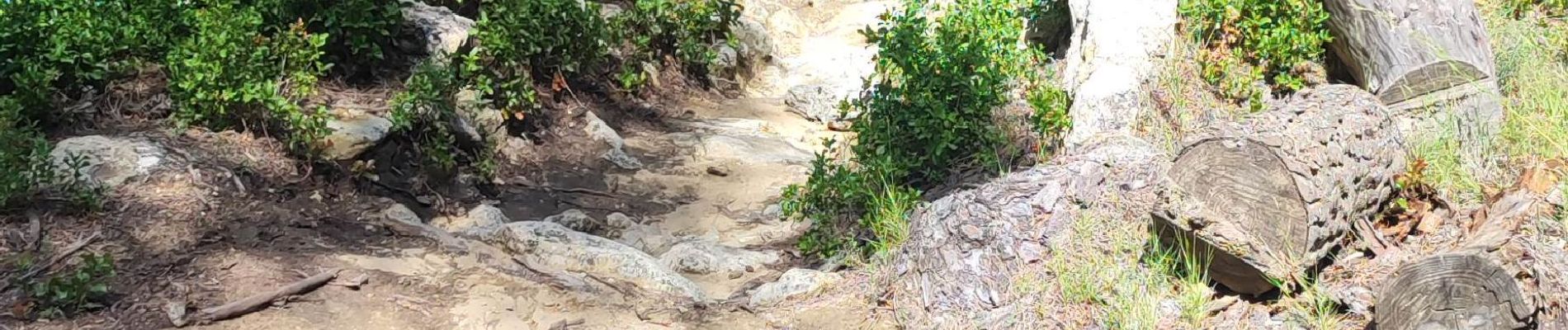
Photos

Positioning
Country:
France
Region :
Provence-Alpes-Côte d'Azur
Department/Province :
Bouches-du-Rhône
Municipality :
Martigues
Location:
Unknown
Start:(Dec)
Start:(UTM)
665720 ; 4811336 (31T) N.
Comments