


Stevenson Pradelles - Le Cheylard l'Evèque

VANDERPUTTENMi
User GUIDE
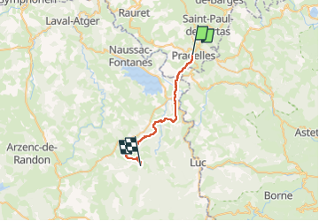

Length
23 km

Max alt
1236 m

Uphill gradient
489 m
Km-Effort
30 km

Min alt
899 m

Downhill gradient
528 m
Boucle
No
Creation date :
2024-05-17 06:20:01.931
Updated on :
2024-05-28 17:28:46.361
5h22
Difficulty : Very difficult

FREE GPS app for hiking
 SityTrail
IGN / Geographical institutes
SityTrail Plus
The world is yours!
About
Trail Walking of 23 km to be discovered at Auvergne-Rhône-Alpes, Haute-Loire, Pradelles. This trail is proposed by VANDERPUTTENMi.
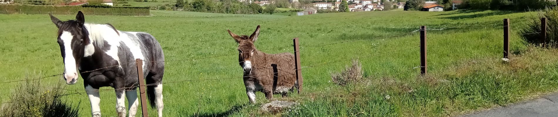
Photos

Positioning
Country:
France
Region :
Auvergne-Rhône-Alpes
Department/Province :
Haute-Loire
Municipality :
Pradelles
Location:
Unknown
Start:(Dec)
Start:(UTM)
569875 ; 4957841 (31T) N.
Comments