


Sarria Portomarin

Vinceneux
User
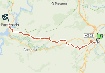

Length
24 km

Max alt
665 m

Uphill gradient
527 m
Km-Effort
31 km

Min alt
332 m

Downhill gradient
552 m
Boucle
No
Creation date :
2024-05-17 05:31:45.624
Updated on :
2024-05-17 14:02:25.245
7h10
Difficulty : Very difficult

FREE GPS app for hiking
 SityTrail
IGN / Geographical institutes
SityTrail Plus
The world is yours!
About
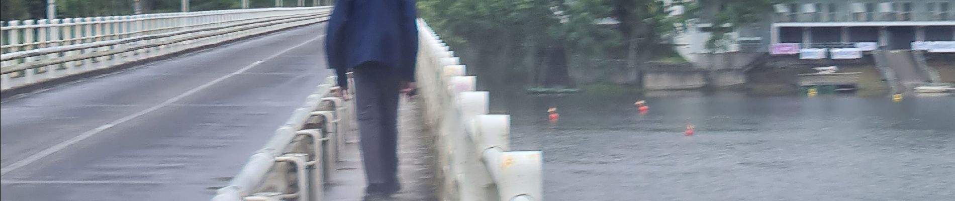
Trail Walking of 24 km to be discovered at Galicia, Lugo, Sarria. This trail is proposed by Vinceneux.
Photos


25 photos in total. Please click on a photo to see them all in the gallery.
Positioning
Country:
Spain
Region :
Galicia
Department/Province :
Lugo
Municipality :
Sarria
Location:
Unknown
Start:(Dec)
Start:(UTM)
629844 ; 4737196 (29T) N.
Comments