


COURPIERE Auvergne

papajp
User
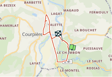

Length
7.5 km

Max alt
335 m

Uphill gradient
70 m
Km-Effort
8.4 km

Min alt
313 m

Downhill gradient
72 m
Boucle
No
Creation date :
2024-05-18 13:19:48.0
Updated on :
2024-05-18 14:27:12.715

FREE GPS app for hiking
 SityTrail
IGN / Geographical institutes
SityTrail Plus
The world is yours!
About
Trail of 7.5 km to be discovered at Auvergne-Rhône-Alpes, Puy-de-Dôme, Courpière. This trail is proposed by papajp.
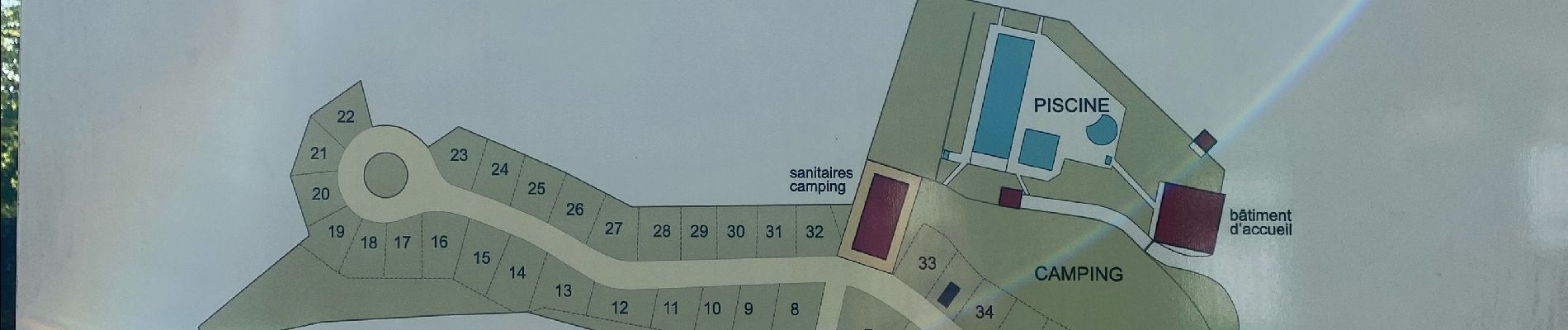
Photos


Positioning
Country:
France
Region :
Auvergne-Rhône-Alpes
Department/Province :
Puy-de-Dôme
Municipality :
Courpière
Location:
Unknown
Start:(Dec)
Start:(UTM)
542960 ; 5066201 (31T) N.
Comments