


mesnil - Vendeuil

alainwald
User
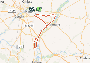

Length
46 km

Max alt
124 m

Uphill gradient
279 m
Km-Effort
49 km

Min alt
51 m

Downhill gradient
279 m
Boucle
Yes
Creation date :
2024-05-18 12:58:07.308
Updated on :
2024-05-18 17:00:41.408
4h01
Difficulty : Easy

FREE GPS app for hiking
 SityTrail
IGN / Geographical institutes
SityTrail Plus
The world is yours!
About
Trail Mountain bike of 46 km to be discovered at Hauts-de-France, Aisne, Mesnil-Saint-Laurent. This trail is proposed by alainwald.
Description
chemin roulant et canal
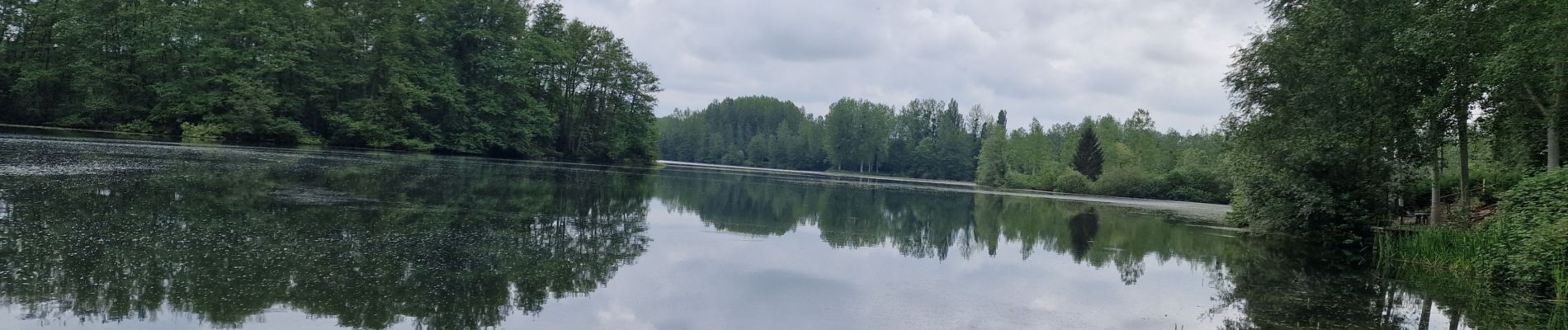
Photos

Positioning
Country:
France
Region :
Hauts-de-France
Department/Province :
Aisne
Municipality :
Mesnil-Saint-Laurent
Location:
Unknown
Start:(Dec)
Start:(UTM)
525826 ; 5519850 (31U) N.
Comments