


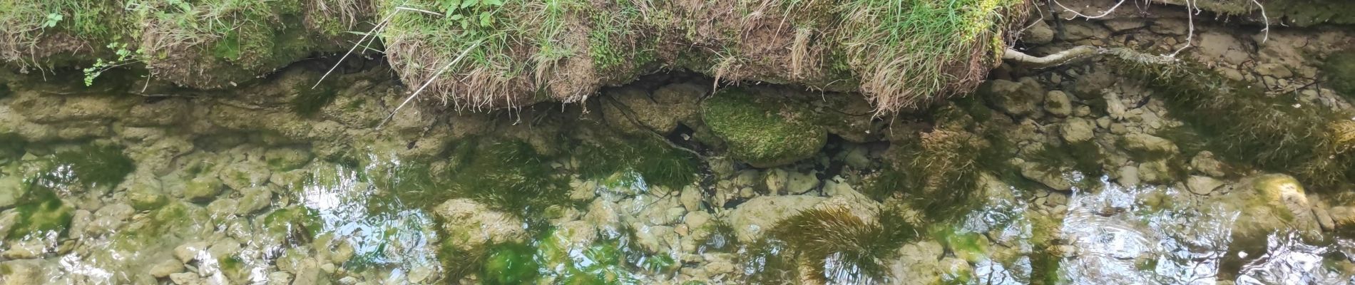
sources huveaune.pas peuruis. j.f marie

NADINE52
User
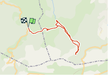

Length
8.4 km

Max alt
488 m

Uphill gradient
143 m
Km-Effort
10.3 km

Min alt
401 m

Downhill gradient
143 m
Boucle
Yes
Creation date :
2024-05-18 08:02:07.945
Updated on :
2024-05-19 12:14:04.709
2h20
Difficulty : Medium

FREE GPS app for hiking
 SityTrail
IGN / Geographical institutes
SityTrail Plus
The world is yours!
About
Trail Walking of 8.4 km to be discovered at Provence-Alpes-Côte d'Azur, Var, Saint-Zacharie. This trail is proposed by NADINE52.
Photos

Positioning
Country:
France
Region :
Provence-Alpes-Côte d'Azur
Department/Province :
Var
Municipality :
Saint-Zacharie
Location:
Unknown
Start:(Dec)
Start:(UTM)
721671 ; 4804116 (31T) N.
Comments