


Serres Cardou

Ada11
User GUIDE
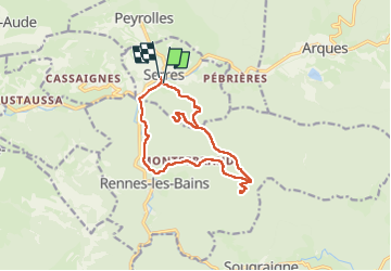

Length
14.4 km

Max alt
791 m

Uphill gradient
641 m
Km-Effort
23 km

Min alt
268 m

Downhill gradient
664 m
Boucle
Yes
Creation date :
2024-05-19 07:33:45.638
Updated on :
2024-05-19 13:35:34.992
5h43
Difficulty : Medium

FREE GPS app for hiking
 SityTrail
IGN / Geographical institutes
SityTrail Plus
The world is yours!
About
Trail Walking of 14.4 km to be discovered at Occitania, Aude, Serres. This trail is proposed by Ada11.
Description
Enregistrement du départ raté mais pas trop loin, voir arrivée. Temps inexact, plus long que prévu car enregistrement pas arrêté sur la pause du déjeuner.
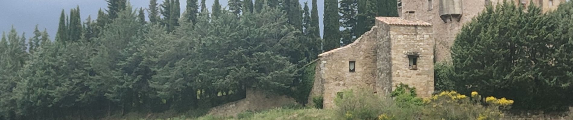
Photos


Positioning
Country:
France
Region :
Occitania
Department/Province :
Aude
Municipality :
Serres
Location:
Unknown
Start:(Dec)
Start:(UTM)
444813 ; 4754892 (31T) N.
Comments