


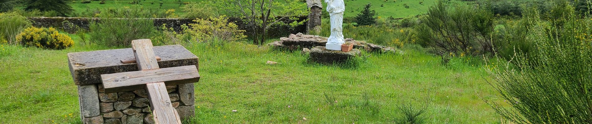
Stevenson Le Cheylard l'Evèque - Notre Dame des Neiges

VANDERPUTTENMi
User GUIDE


Length
24 km

Max alt
1249 m

Uphill gradient
688 m
Km-Effort
34 km

Min alt
969 m

Downhill gradient
710 m
Boucle
No
Creation date :
2024-05-18 06:06:11.387
Updated on :
2024-05-29 16:54:47.128
7h12
Difficulty : Very difficult

FREE GPS app for hiking
 SityTrail
IGN / Geographical institutes
SityTrail Plus
The world is yours!
About
Trail Walking of 24 km to be discovered at Occitania, Lozère, Cheylard-l'Évêque. This trail is proposed by VANDERPUTTENMi.
Photos

Positioning
Country:
France
Region :
Occitania
Department/Province :
Lozère
Municipality :
Cheylard-l'Évêque
Location:
Unknown
Start:(Dec)
Start:(UTM)
563704 ; 4944106 (31T) N.
Comments