


Les Saintes - J2

David25400
User GUIDE
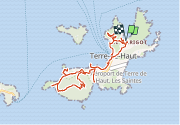

Length
15.8 km

Max alt
295 m

Uphill gradient
577 m
Km-Effort
24 km

Min alt
-1 m

Downhill gradient
575 m
Boucle
Yes
Creation date :
2024-05-21 13:22:17.274
Updated on :
2024-05-21 20:44:34.914
7h20
Difficulty : Medium

FREE GPS app for hiking
 SityTrail
IGN / Geographical institutes
SityTrail Plus
The world is yours!
About
Trail Walking of 15.8 km to be discovered at Guadeloupe, Unknown, Terre-de-Haut. This trail is proposed by David25400.
Description
Anse Marigot - Fort Napoléon - Anse Figuier - Pain de Sucre - Anse Crawen - Chameau
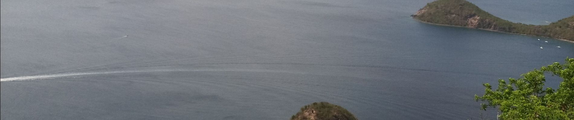
Photos


26 photos in total. Please click on a photo to see them all in the gallery.
Positioning
Country:
France
Region :
Guadeloupe
Department/Province :
Unknown
Municipality :
Terre-de-Haut
Location:
Unknown
Start:(Dec)
Start:(UTM)
652281 ; 1755384 (20P) N.
Comments