


lac pavin

PascalBanide
User
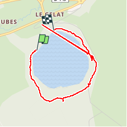

Length
4.7 km

Max alt
1311 m

Uphill gradient
136 m
Km-Effort
6.6 km

Min alt
1183 m

Downhill gradient
149 m
Boucle
No
Creation date :
2015-04-11 00:00:00.0
Updated on :
2015-04-11 00:00:00.0
1h07
Difficulty : Unknown

FREE GPS app for hiking
 SityTrail
IGN / Geographical institutes
SityTrail Plus
The world is yours!
About
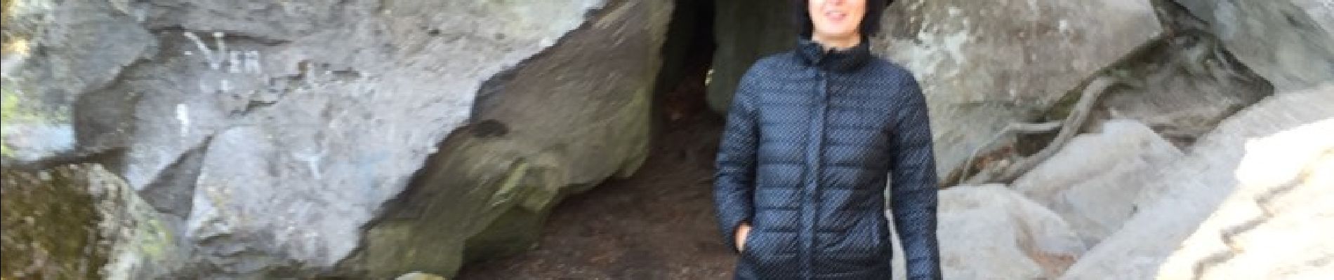
Trail Other activity of 4.7 km to be discovered at Auvergne-Rhône-Alpes, Puy-de-Dôme, Besse-et-Saint-Anastaise. This trail is proposed by PascalBanide.
Photos

Positioning
Country:
France
Region :
Auvergne-Rhône-Alpes
Department/Province :
Puy-de-Dôme
Municipality :
Besse-et-Saint-Anastaise
Location:
Besse
Start:(Dec)
Start:(UTM)
490923 ; 5038172 (31T) N.
Comments