


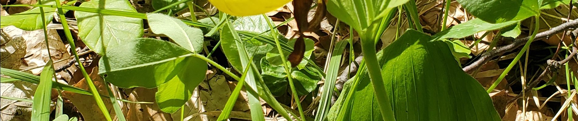
sabots de venus gigors 860m 12kms

Danielba
User GUIDE

Length
10.8 km

Max alt
1572 m

Uphill gradient
779 m
Km-Effort
21 km

Min alt
855 m

Downhill gradient
781 m
Boucle
Yes
Creation date :
2024-05-26 07:13:01.931
Updated on :
2024-05-26 18:32:44.376
6h40
Difficulty : Difficult

FREE GPS app for hiking
 SityTrail
IGN / Geographical institutes
SityTrail Plus
The world is yours!
About
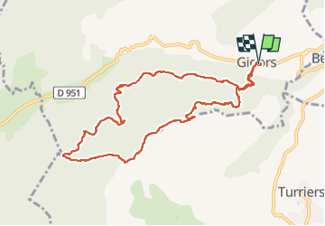
Trail Walking of 10.8 km to be discovered at Provence-Alpes-Côte d'Azur, Alpes-de-Haute-Provence, Gigors. This trail is proposed by Danielba .
Photos


Positioning
Country:
France
Region :
Provence-Alpes-Côte d'Azur
Department/Province :
Alpes-de-Haute-Provence
Municipality :
Gigors
Location:
Unknown
Start:(Dec)
Start:(UTM)
273981 ; 4922286 (32T) N.
Comments