


GR_34_CF_19_Treveneuc_Plouha_20240527

patrickdanilo
User


Length
10.1 km

Max alt
100 m

Uphill gradient
287 m
Km-Effort
13.7 km

Min alt
1 m

Downhill gradient
233 m
Boucle
No
Creation date :
2024-05-27 06:37:36.206
Updated on :
2024-05-29 13:02:53.778
3h07
Difficulty : Medium

FREE GPS app for hiking
 SityTrail
IGN / Geographical institutes
SityTrail Plus
The world is yours!
About
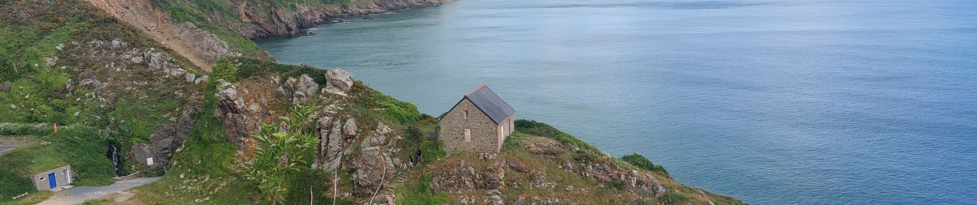
Trail Walking of 10.1 km to be discovered at Brittany, Côtes-d'Armor, Tréveneuc. This trail is proposed by patrickdanilo.
Photos


Positioning
Country:
France
Region :
Brittany
Department/Province :
Côtes-d'Armor
Municipality :
Tréveneuc
Location:
Unknown
Start:(Dec)
Start:(UTM)
508784 ; 5391190 (30U) N.
Comments