


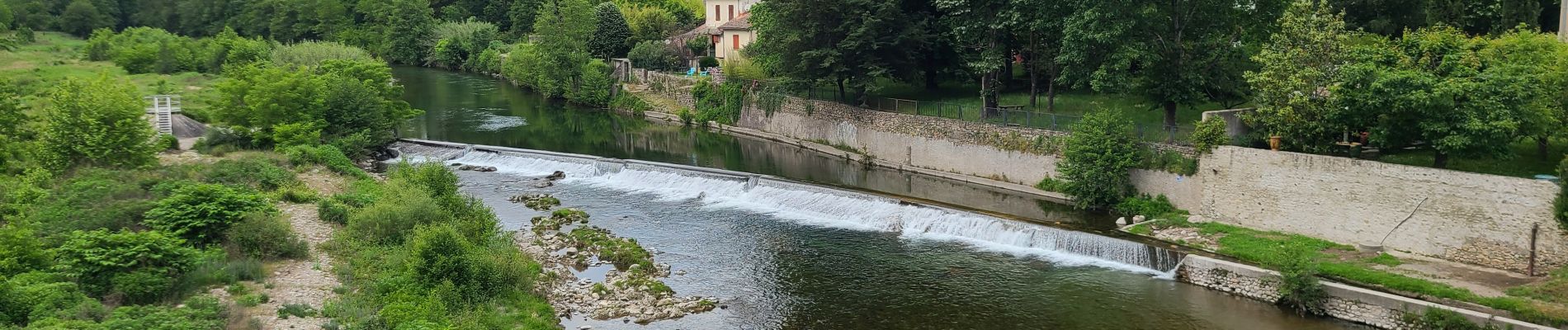
Stevenson Pont de Burgen - Saint Jean du Gard

VANDERPUTTENMi
User GUIDE


Length
21 km

Max alt
635 m

Uphill gradient
688 m
Km-Effort
31 km

Min alt
184 m

Downhill gradient
779 m
Boucle
No
Creation date :
2024-05-25 06:20:01.721
Updated on :
2024-05-29 17:09:40.456
6h57
Difficulty : Very difficult

FREE GPS app for hiking
 SityTrail
IGN / Geographical institutes
SityTrail Plus
The world is yours!
About
Trail Walking of 21 km to be discovered at Occitania, Lozère, Saint-Étienne-Vallée-Française. This trail is proposed by VANDERPUTTENMi.
Photos

Positioning
Country:
France
Region :
Occitania
Department/Province :
Lozère
Municipality :
Saint-Étienne-Vallée-Française
Location:
Unknown
Start:(Dec)
Start:(UTM)
567436 ; 4893573 (31T) N.
Comments