


J4G2

LouisROGER
User GUIDE

Length
12.7 km

Max alt
24 m

Uphill gradient
104 m
Km-Effort
14.1 km

Min alt
0 m

Downhill gradient
101 m
Boucle
No
Creation date :
2024-05-29 07:45:59.391
Updated on :
2024-05-29 13:20:12.32
5h33
Difficulty : Difficult

FREE GPS app for hiking
 SityTrail
IGN / Geographical institutes
SityTrail Plus
The world is yours!
About
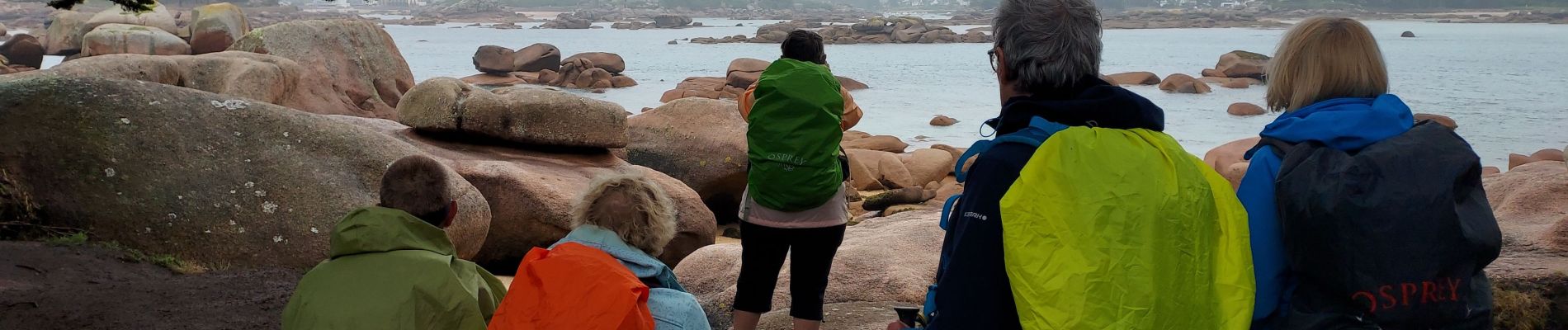
Trail Walking of 12.7 km to be discovered at Brittany, Côtes-d'Armor, Trégastel. This trail is proposed by LouisROGER.
Photos

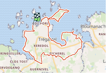
Positioning
Country:
France
Region :
Brittany
Department/Province :
Côtes-d'Armor
Municipality :
Trégastel
Location:
Unknown
Start:(Dec)
Start:(UTM)
461872 ; 5408936 (30U) N.
Comments