


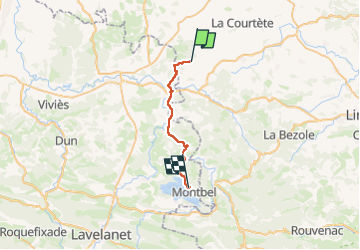
Carcassonne Quillan etap3

taguette
User

Length
23 km

Max alt
449 m

Uphill gradient
335 m
Km-Effort
27 km

Min alt
311 m

Downhill gradient
325 m
Boucle
No
Creation date :
2024-05-29 06:06:40.737
Updated on :
2024-05-29 13:54:53.764
7h47
Difficulty : Very difficult

FREE GPS app for hiking
 SityTrail
IGN / Geographical institutes
SityTrail Plus
The world is yours!
About
Trail Walking of 23 km to be discovered at Occitania, Aude, Seignalens. This trail is proposed by taguette.
Positioning
Country:
France
Region :
Occitania
Department/Province :
Aude
Municipality :
Seignalens
Location:
Unknown
Start:(Dec)
Start:(UTM)
416467 ; 4773194 (31T) N.
Comments