


la dole

FAUCET
User
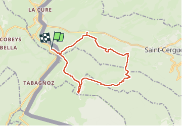

Length
16 km

Max alt
1671 m

Uphill gradient
717 m
Km-Effort
26 km

Min alt
1160 m

Downhill gradient
717 m
Boucle
Yes
Creation date :
2024-05-30 07:32:07.762
Updated on :
2024-05-30 14:21:22.2
4h39
Difficulty : Very difficult

FREE GPS app for hiking
 SityTrail
IGN / Geographical institutes
SityTrail Plus
The world is yours!
About
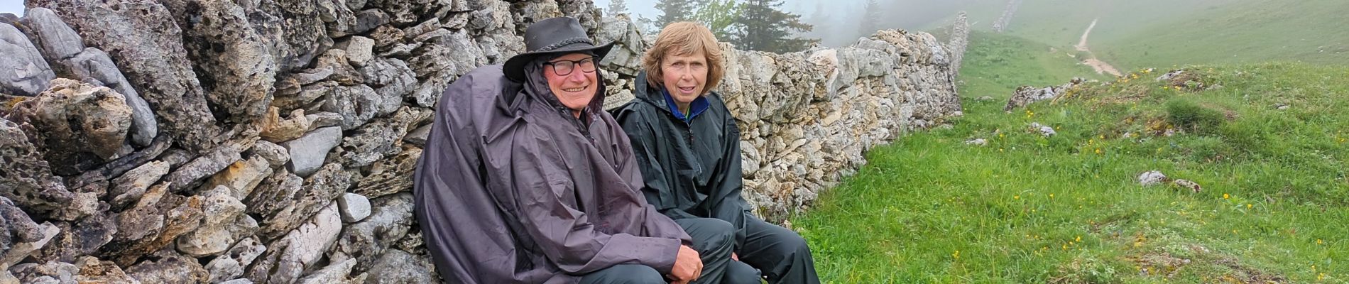
Trail Walking of 16 km to be discovered at Bourgogne-Franche-Comté, Jura, Les Rousses. This trail is proposed by FAUCET.
Photos


Positioning
Country:
France
Region :
Bourgogne-Franche-Comté
Department/Province :
Jura
Municipality :
Les Rousses
Location:
Unknown
Start:(Dec)
Start:(UTM)
275862 ; 5147833 (32T) N.
Comments