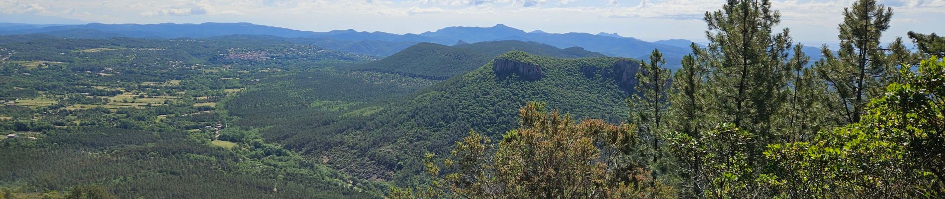
Gorges du Blavet

GrouGary
User
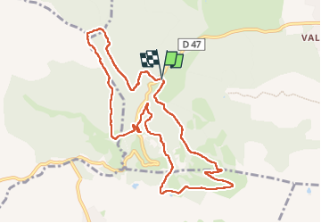


5h00
Difficulty : Easy

FREE GPS app for hiking
 SityTrail
IGN / Geographical institutes
SityTrail Plus
The world is yours!
About
Trail Walking of 11.3 km to be discovered at Provence-Alpes-Côte d'Azur, Var, Bagnols-en-Forêt. This trail is proposed by GrouGary.
Description
Petite boucle en grande partie en sous-bois ;
Belle et grande grotte du Muéron ;
Retour par la piste de Bayonne, un peu trop exposée "soleil" dans l'après-midi; Peut-être envisager de la faire en sens inverse et remonter les Gorges du Blavet ombragées.
Photos


Positioning
Comments