


Col de Bergu

Fky78
User


Length
6.2 km

Max alt
779 m

Uphill gradient
298 m
Km-Effort
10.2 km

Min alt
479 m

Downhill gradient
298 m
Boucle
Yes
Creation date :
2024-06-03 09:30:27.321
Updated on :
2024-06-03 12:04:46.866
2h15
Difficulty : Medium

FREE GPS app for hiking
 SityTrail
IGN / Geographical institutes
SityTrail Plus
The world is yours!
About
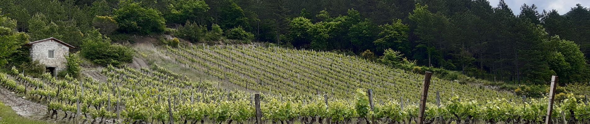
Trail Walking of 6.2 km to be discovered at Auvergne-Rhône-Alpes, Drôme, Die. This trail is proposed by Fky78.
Description
Départ un peu raide ensuite facile
Photos


Positioning
Country:
France
Region :
Auvergne-Rhône-Alpes
Department/Province :
Drôme
Municipality :
Die
Location:
Unknown
Start:(Dec)
Start:(UTM)
688225 ; 4960403 (31T) N.
Comments