


marsa4

parastat
User
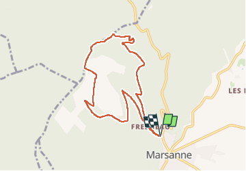

Length
8.5 km

Max alt
588 m

Uphill gradient
326 m
Km-Effort
12.9 km

Min alt
289 m

Downhill gradient
328 m
Boucle
Yes
Creation date :
2024-06-04 11:39:21.127
Updated on :
2024-06-04 14:38:00.401
2h57
Difficulty : Difficult

FREE GPS app for hiking
 SityTrail
IGN / Geographical institutes
SityTrail Plus
The world is yours!
About
Trail Walking of 8.5 km to be discovered at Auvergne-Rhône-Alpes, Drôme, Marsanne. This trail is proposed by parastat.
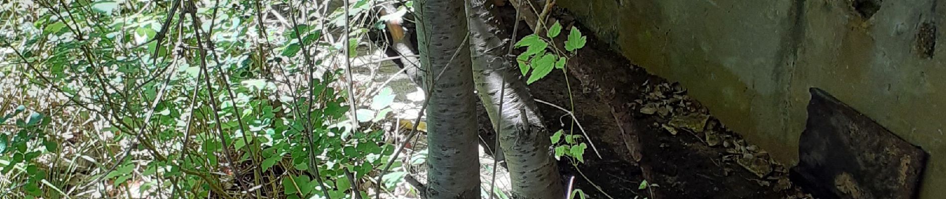
Photos


Positioning
Country:
France
Region :
Auvergne-Rhône-Alpes
Department/Province :
Drôme
Municipality :
Marsanne
Location:
Unknown
Start:(Dec)
Start:(UTM)
648370 ; 4945413 (31T) N.
Comments