


aux sources de la Saône

jmbilger
User

Length
39 km

Max alt
433 m

Uphill gradient
715 m
Km-Effort
48 km

Min alt
245 m

Downhill gradient
714 m
Boucle
No
Creation date :
2015-04-14 00:00:00.0
Updated on :
2015-04-14 00:00:00.0
2h31
Difficulty : Unknown

FREE GPS app for hiking
 SityTrail
IGN / Geographical institutes
SityTrail Plus
The world is yours!
About
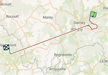
Trail Walking of 39 km to be discovered at Grand Est, Vosges, Belrupt. This trail is proposed by jmbilger.
Positioning
Country:
France
Region :
Grand Est
Department/Province :
Vosges
Municipality :
Belrupt
Location:
Unknown
Start:(Dec)
Start:(UTM)
283398 ; 5330246 (32U) N.
Comments