


🦎 Guadeloupe - Morne Lézard 🦎

toutankhcarton
User GUIDE
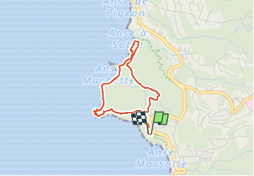

Length
4.5 km

Max alt
94 m

Uphill gradient
183 m
Km-Effort
6.9 km

Min alt
4 m

Downhill gradient
182 m
Boucle
Yes
Creation date :
2024-06-07 12:48:21.816
Updated on :
2024-06-09 12:11:48.72
1h34
Difficulty : Easy

FREE GPS app for hiking
 SityTrail
IGN / Geographical institutes
SityTrail Plus
The world is yours!
About
Trail Walking of 4.5 km to be discovered at Guadeloupe, Unknown, Bouillante. This trail is proposed by toutankhcarton.
Description
Départ du parking point de vue Falaise. Rando en boucle.
Passage à Anse à Sable, Pointe Machette, Pointe à Lézard.
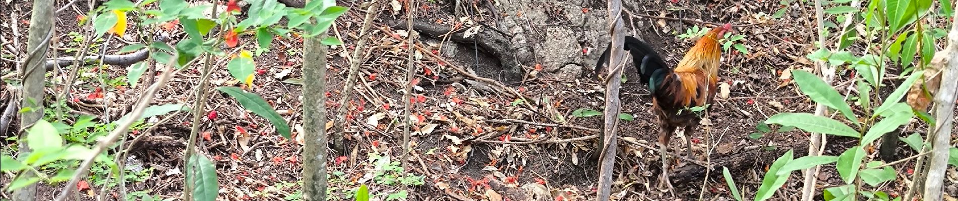
Photos


Positioning
Country:
France
Region :
Guadeloupe
Department/Province :
Unknown
Municipality :
Bouillante
Location:
Unknown
Start:(Dec)
Start:(UTM)
631196 ; 1784529 (20Q) N.
Comments