


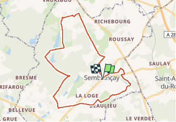
Semblançay - Circuit les Etangs

guydu41
User


4h55
Difficulty : Medium

FREE GPS app for hiking
 SityTrail
IGN / Geographical institutes
SityTrail Plus
The world is yours!
About
Trail Walking of 19.7 km to be discovered at Centre-Loire Valley, Indre-et-Loire, Semblançay. This trail is proposed by guydu41.
Description
Randonnée au départ du parking Rue Jeanne de Russé à Semblançay 37360.
Ce circuit PR est balisé jaune.
La fin du parcours quitte le PR pour voir quelques cavités dans une paroi rocheuse.
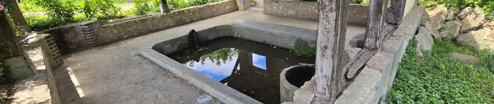
Photos


25 photos in total. Please click on a photo to see them all in the gallery.
Positioning
Comments