


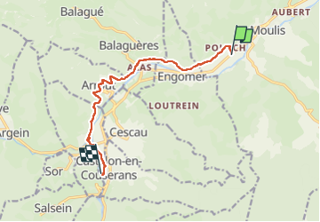
Foix Bagnères de Luchon etap4 Castillon

taguette
User

Length
10 km

Max alt
599 m

Uphill gradient
302 m
Km-Effort
13.8 km

Min alt
446 m

Downhill gradient
221 m
Boucle
No
Creation date :
2024-06-13 06:37:13.921
Updated on :
2024-06-13 09:38:14.568
3h00
Difficulty : Difficult

FREE GPS app for hiking
 SityTrail
IGN / Geographical institutes
SityTrail Plus
The world is yours!
About
Trail Walking of 10 km to be discovered at Occitania, Ariège, Moulis. This trail is proposed by taguette.
Positioning
Country:
France
Region :
Occitania
Department/Province :
Ariège
Municipality :
Moulis
Location:
Unknown
Start:(Dec)
Start:(UTM)
343248 ; 4757447 (31T) N.
Comments