


Etape 0

mimilolo
User
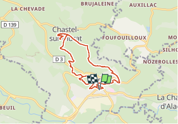

Length
8.9 km

Max alt
1179 m

Uphill gradient
335 m
Km-Effort
13.4 km

Min alt
915 m

Downhill gradient
336 m
Boucle
Yes
Creation date :
2024-06-13 11:30:44.266
Updated on :
2024-06-13 15:17:03.439
3h05
Difficulty : Easy

FREE GPS app for hiking
 SityTrail
IGN / Geographical institutes
SityTrail Plus
The world is yours!
About
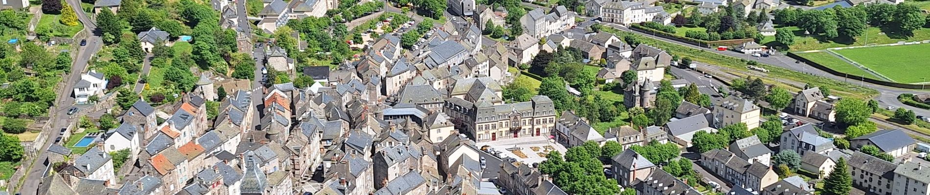
Trail Walking of 8.9 km to be discovered at Auvergne-Rhône-Alpes, Cantal, Murat. This trail is proposed by mimilolo.
Photos


Positioning
Country:
France
Region :
Auvergne-Rhône-Alpes
Department/Province :
Cantal
Municipality :
Murat
Location:
Murat
Start:(Dec)
Start:(UTM)
489697 ; 4995251 (31T) N.
Comments