


randonnée à Neffies

jeff2
User
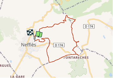

Length
9.2 km

Max alt
234 m

Uphill gradient
191 m
Km-Effort
11.8 km

Min alt
91 m

Downhill gradient
189 m
Boucle
Yes
Creation date :
2024-06-14 07:13:39.562
Updated on :
2024-06-14 10:05:58.004
2h51
Difficulty : Easy

FREE GPS app for hiking
 SityTrail
IGN / Geographical institutes
SityTrail Plus
The world is yours!
About
Trail Walking of 9.2 km to be discovered at Occitania, Hérault, Neffiès. This trail is proposed by jeff2.
Description
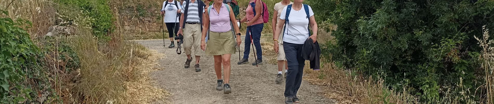
Jolie balade autour du village au travers des vignes.
Photos


Positioning
Country:
France
Region :
Occitania
Department/Province :
Hérault
Municipality :
Neffiès
Location:
Unknown
Start:(Dec)
Start:(UTM)
527030 ; 4820332 (31T) N.
Comments