


2024 RA Vosges J2 Du Sotré à la Schlucht

dfluzin
User
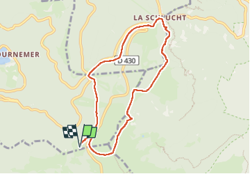

Length
7.9 km

Max alt
1297 m

Uphill gradient
264 m
Km-Effort
11.5 km

Min alt
1109 m

Downhill gradient
264 m
Boucle
Yes
Creation date :
2024-06-14 08:20:06.969
Updated on :
2024-06-18 12:41:31.283
1h55
Difficulty : Medium

FREE GPS app for hiking
 SityTrail
IGN / Geographical institutes
SityTrail Plus
The world is yours!
About
Trail Walking of 7.9 km to be discovered at Grand Est, Vosges, Xonrupt-Longemer. This trail is proposed by dfluzin.
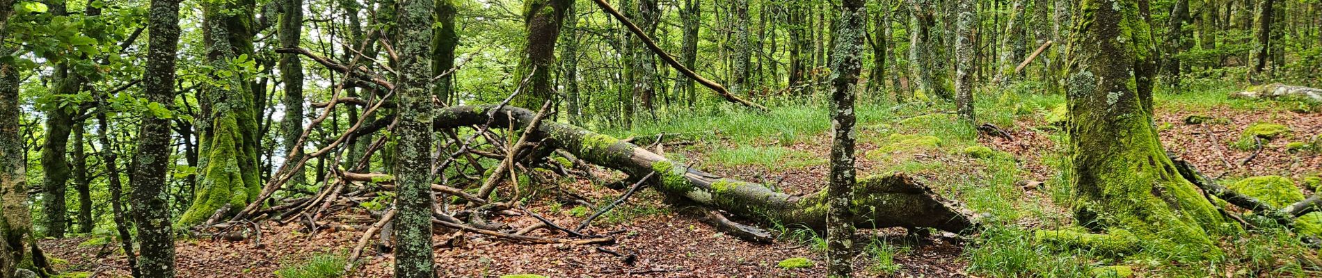
Photos


Positioning
Country:
France
Region :
Grand Est
Department/Province :
Vosges
Municipality :
Xonrupt-Longemer
Location:
Unknown
Start:(Dec)
Start:(UTM)
351140 ; 5322946 (32U) N.
Comments