


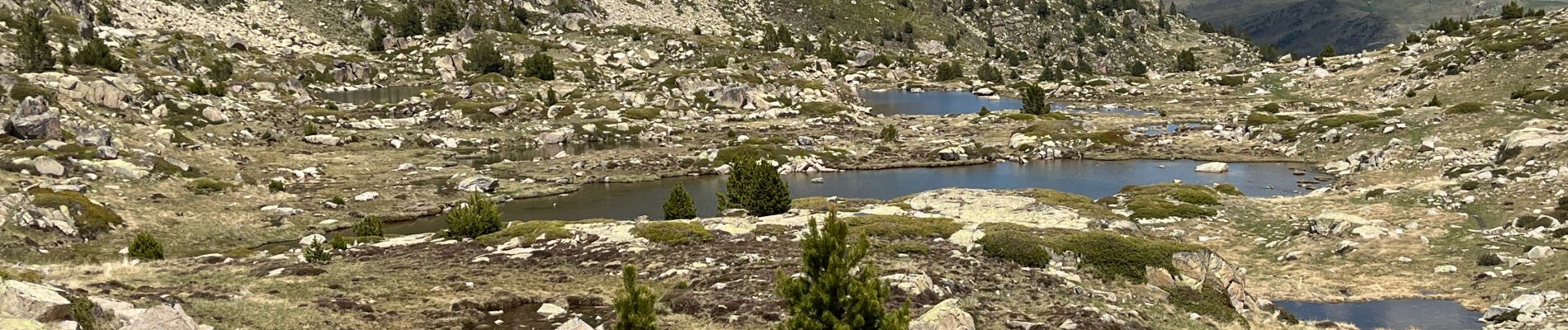
Grau rouge

jouans
User GUIDE
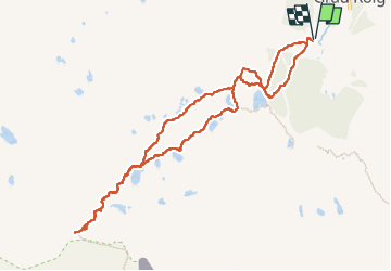

Length
11.6 km

Max alt
2804 m

Uphill gradient
712 m
Km-Effort
21 km

Min alt
2109 m

Downhill gradient
710 m
Boucle
Yes
Creation date :
2024-06-14 07:42:01.0
Updated on :
2024-06-14 13:46:05.184

FREE GPS app for hiking
 SityTrail
IGN / Geographical institutes
SityTrail Plus
The world is yours!
About
Trail of 11.6 km to be discovered at Andorra. This trail is proposed by jouans.
Photos


Positioning
Country:
Andorra
Region :
Unknown
Department/Province :
Unknown
Municipality :
Unknown
Location:
Unknown
Start:(Dec)
Start:(UTM)
392939 ; 4709675 (31T) N.
Comments