


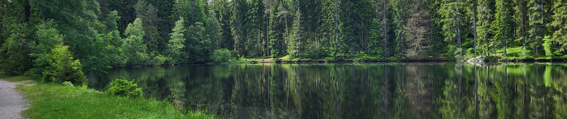
Hinterzarten - Mathisleweiher

Bart2015
User
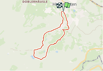

Length
6.7 km

Max alt
1056 m

Uphill gradient
208 m
Km-Effort
9.4 km

Min alt
882 m

Downhill gradient
210 m
Boucle
Yes
Creation date :
2024-06-16 08:06:16.502
Updated on :
2024-06-17 15:21:26.626
2h08
Difficulty : Medium

FREE GPS app for hiking
 SityTrail
IGN / Geographical institutes
SityTrail Plus
The world is yours!
About
Trail Walking of 6.7 km to be discovered at Baden-Württemberg, Landkreis Breisgau-Hochschwarzwald, Hinterzarten. This trail is proposed by Bart2015.
Photos


Positioning
Country:
Germany
Region :
Baden-Württemberg
Department/Province :
Landkreis Breisgau-Hochschwarzwald
Municipality :
Hinterzarten
Location:
Unknown
Start:(Dec)
Start:(UTM)
432963 ; 5305953 (32T) N.
Comments