


Prat d'Albis Alain Goudou

Ada11
User GUIDE
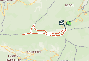

Length
12.8 km

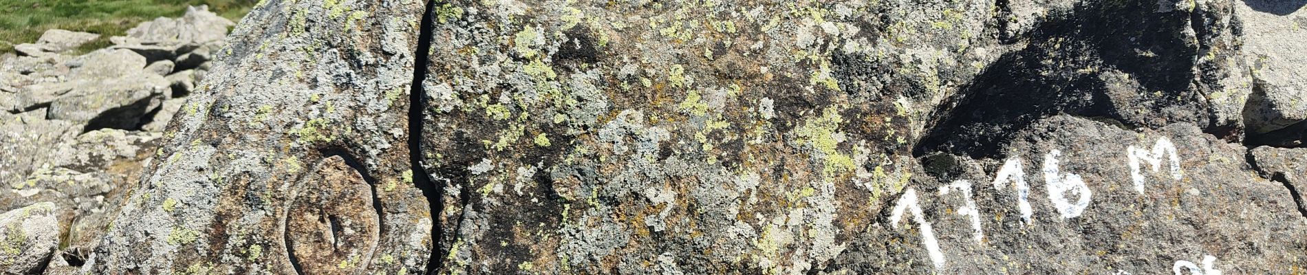
Max alt
1710 m

Uphill gradient
505 m
Km-Effort
19.5 km

Min alt
1387 m

Downhill gradient
507 m
Boucle
Yes
Creation date :
2024-06-16 07:15:06.87
Updated on :
2024-06-16 14:08:22.227
5h58
Difficulty : Medium

FREE GPS app for hiking
 SityTrail
IGN / Geographical institutes
SityTrail Plus
The world is yours!
About
Trail Walking of 12.8 km to be discovered at Occitania, Ariège, Ganac. This trail is proposed by Ada11.
Description
Très jolie rando. Beaux paysages, troupeaux de chevaux vaches moutons en liberté et pas farouches.
Sentier de retour pas facile à retrouver dans les fougères.
Photos


Positioning
Country:
France
Region :
Occitania
Department/Province :
Ariège
Municipality :
Ganac
Location:
Unknown
Start:(Dec)
Start:(UTM)
382917 ; 4752045 (31T) N.
Comments