


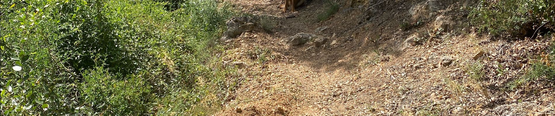
La mesta pont Charle Albert

papajp
User
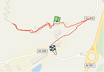

Length
659 m

Max alt
179 m

Uphill gradient
17 m
Km-Effort
972 m

Min alt
118 m

Downhill gradient
43 m
Boucle
Yes
Creation date :
2024-06-18 13:00:27.0
Updated on :
2024-06-18 13:30:33.746

FREE GPS app for hiking
 SityTrail
IGN / Geographical institutes
SityTrail Plus
The world is yours!
About
Trail of 659 m to be discovered at Provence-Alpes-Côte d'Azur, Maritime Alps, Gilette. This trail is proposed by papajp.
Photos


Positioning
Country:
France
Region :
Provence-Alpes-Côte d'Azur
Department/Province :
Maritime Alps
Municipality :
Gilette
Location:
Unknown
Start:(Dec)
Start:(UTM)
353941 ; 4854609 (32T) N.
Comments