


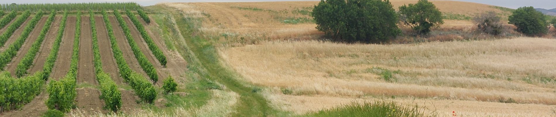
CC_Piemont_BB_07_Montreal_Hounoux_20240618

patrickdanilo
User
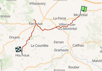

Length
22 km

Max alt
421 m

Uphill gradient
508 m
Km-Effort
28 km

Min alt
174 m

Downhill gradient
371 m
Boucle
No
Creation date :
2024-06-18 05:48:48.499
Updated on :
2024-09-18 16:35:27.987
6h28
Difficulty : Medium

FREE GPS app for hiking
 SityTrail
IGN / Geographical institutes
SityTrail Plus
The world is yours!
About
Trail Walking of 22 km to be discovered at Occitania, Aude, Montréal. This trail is proposed by patrickdanilo.
Description
Randonnée Marche de 23 km à découvrir à Occitanie, Aude, Montréal. Cette randonnée est proposée par patrickdanilo.
Photos


24 photos in total. Please click on a photo to see them all in the gallery.
Positioning
Country:
France
Region :
Occitania
Department/Province :
Aude
Municipality :
Montréal
Location:
Unknown
Start:(Dec)
Start:(UTM)
430234 ; 4783333 (31T) N.
Comments