


tmb2024 étape 8 Trient la Flegere

marcagif
User
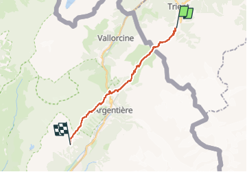

Length
17.7 km

Max alt
2206 m

Uphill gradient
1625 m
Km-Effort
38 km

Min alt
1367 m

Downhill gradient
1166 m
Boucle
No
Creation date :
2024-06-21 05:49:10.972
Updated on :
2024-06-21 16:34:48.231
8h44
Difficulty : Difficult

FREE GPS app for hiking
 SityTrail
IGN / Geographical institutes
SityTrail Plus
The world is yours!
About
Trail Walking of 17.7 km to be discovered at Valais/Wallis, Martigny, Trient. This trail is proposed by marcagif.
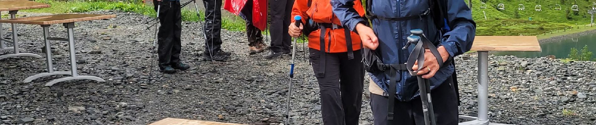
Photos


Positioning
Country:
Switzerland
Region :
Valais/Wallis
Department/Province :
Martigny
Municipality :
Trient
Location:
Unknown
Start:(Dec)
Start:(UTM)
344732 ; 5100588 (32T) N.
Comments