


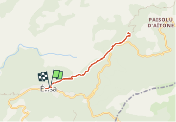
Sentier de la châtaigneraie

gerard.colonna
User

Length
7.2 km

Max alt
995 m

Uphill gradient
270 m
Km-Effort
10.8 km

Min alt
836 m

Downhill gradient
293 m
Boucle
Yes
Creation date :
2024-06-22 08:41:05.0
Updated on :
2024-06-22 13:47:04.754

FREE GPS app for hiking
 SityTrail
IGN / Geographical institutes
SityTrail Plus
The world is yours!
About
Trail of 7.2 km to be discovered at Corsica, South Corsica, Évisa. This trail is proposed by gerard.colonna.
Positioning
Country:
France
Region :
Corsica
Department/Province :
South Corsica
Municipality :
Évisa
Location:
Unknown
Start:(Dec)
Start:(UTM)
483832 ; 4678030 (32T) N.
Comments