


Beautor 2 du 22-06-2024

VANDERPUTTENMi
User GUIDE

Length
9.9 km

Max alt
59 m

Uphill gradient
44 m
Km-Effort
10.5 km

Min alt
45 m

Downhill gradient
44 m
Boucle
Yes
Creation date :
2024-06-22 11:55:50.382
Updated on :
2024-06-22 17:58:45.781
2h23
Difficulty : Medium

FREE GPS app for hiking
 SityTrail
IGN / Geographical institutes
SityTrail Plus
The world is yours!
About
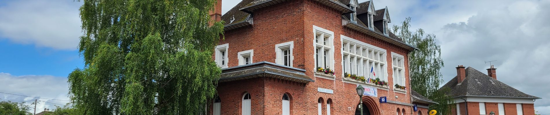
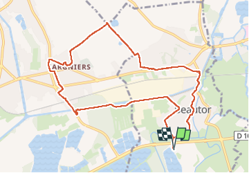
Trail Walking of 9.9 km to be discovered at Hauts-de-France, Aisne, Beautor. This trail is proposed by VANDERPUTTENMi.
Photos

Positioning
Country:
France
Region :
Hauts-de-France
Department/Province :
Aisne
Municipality :
Beautor
Location:
Unknown
Start:(Dec)
Start:(UTM)
524608 ; 5499235 (31U) N.
Comments