


Rand'Ocres et Salettes

supercolas
User GUIDE
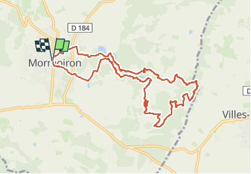

Length
10.9 km

Max alt
356 m

Uphill gradient
278 m
Km-Effort
14.6 km

Min alt
214 m

Downhill gradient
277 m
Boucle
Yes
Creation date :
2024-06-22 12:25:42.49
Updated on :
2024-06-22 18:19:56.019
3h00
Difficulty : Medium

FREE GPS app for hiking
 SityTrail
IGN / Geographical institutes
SityTrail Plus
The world is yours!
About
Trail Walking of 10.9 km to be discovered at Provence-Alpes-Côte d'Azur, Vaucluse, Mormoiron. This trail is proposed by supercolas.
Description
Mormoiron
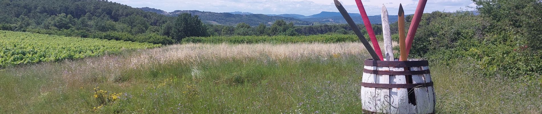
Photos


Positioning
Country:
France
Region :
Provence-Alpes-Côte d'Azur
Department/Province :
Vaucluse
Municipality :
Mormoiron
Location:
Unknown
Start:(Dec)
Start:(UTM)
674812 ; 4881717 (31T) N.
Comments
Très belle randonnée !