


Trédarzec - GR34 St-Laurent Kerbors - 26.9km 295m 6h10 (50mn) - 2024 06 25

Orcal37
User GUIDE
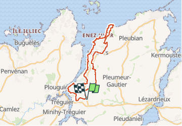

Length
27 km

Max alt
78 m

Uphill gradient
295 m
Km-Effort
31 km

Min alt
-2 m

Downhill gradient
294 m
Boucle
Yes
Creation date :
2024-06-25 07:58:07.41
Updated on :
2024-08-10 09:41:28.784
6h10
Difficulty : Medium

FREE GPS app for hiking
 SityTrail
IGN / Geographical institutes
SityTrail Plus
The world is yours!
About
Trail Walking of 27 km to be discovered at Brittany, Côtes-d'Armor, Trédarzec. This trail is proposed by Orcal37.
Description
Trédarzec - GR34 - St-Laurent - Kerbors - 26.9km 295m 6h10 (50mn) - 2024 06 25
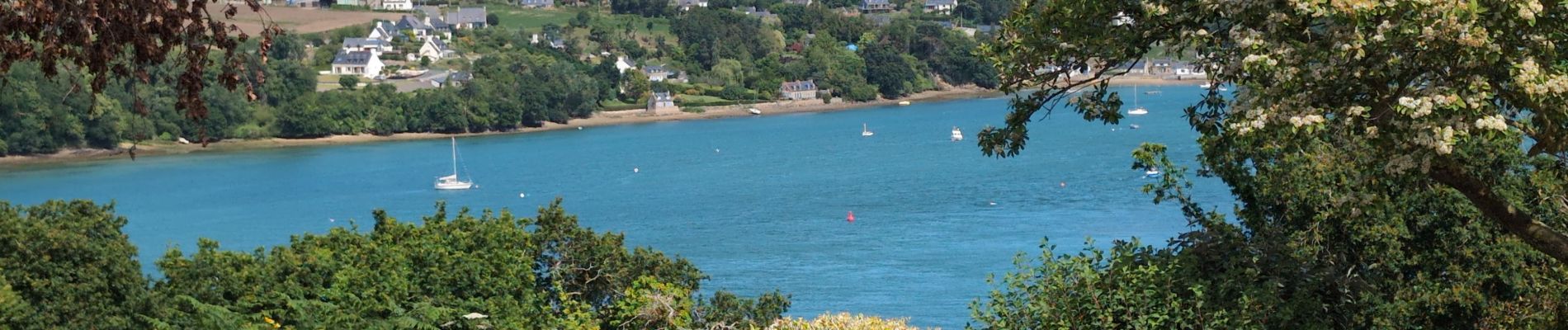
Photos
 - 2024 06 25 - Photo 1")
 - 2024 06 25 - Photo 2")
 - 2024 06 25 - Photo 3")
 - 2024 06 25 - Photo 4")
 - 2024 06 25 - Photo 5")
 - 2024 06 25 - Photo 6")
 - 2024 06 25 - Photo 7")
 - 2024 06 25 - Photo 8")
 - 2024 06 25 - Photo 9")
 - 2024 06 25 - Photo 10")
 - 2024 06 25 - Photo 11")
 - 2024 06 25 - Photo 12")
 - 2024 06 25 - Photo 13")
Positioning
Country:
France
Region :
Brittany
Department/Province :
Côtes-d'Armor
Municipality :
Trédarzec
Location:
Unknown
Start:(Dec)
Start:(UTM)
485444 ; 5403744 (30U) N.
Comments