


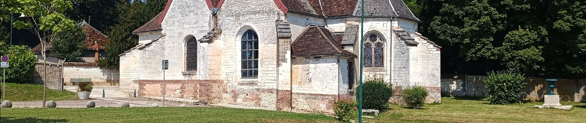
Bucey en Othe

FPortier
User
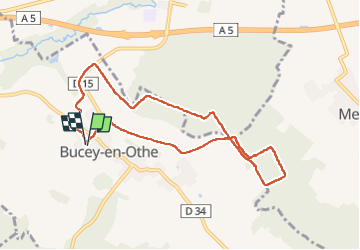

Length
8.1 km

Max alt
245 m

Uphill gradient
145 m
Km-Effort
10 km

Min alt
141 m

Downhill gradient
146 m
Boucle
Yes
Creation date :
2024-06-27 07:02:20.345
Updated on :
2024-06-27 19:38:10.026
2h22
Difficulty : Medium

FREE GPS app for hiking
 SityTrail
IGN / Geographical institutes
SityTrail Plus
The world is yours!
About
Trail Walking of 8.1 km to be discovered at Grand Est, Aube, Bucey-en-Othe. This trail is proposed by FPortier.
Description
Randonnée du 27 juin 2024 Club Joie de Vivre de Vauchassis.
Au dessus de Bucey coté Fontvannes.
Photos

Positioning
Country:
France
Region :
Grand Est
Department/Province :
Aube
Municipality :
Bucey-en-Othe
Location:
Unknown
Start:(Dec)
Start:(UTM)
563857 ; 5345554 (31U) N.
Comments