


Tréveneuc Chapelle Saint-Marc - GR34 Plage de la Banche - 24.8km 420m 5h35 (40mn) - 2024 07 03

Orcal37
User GUIDE
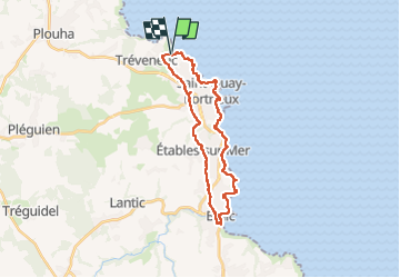

Length
25 km

Max alt
77 m

Uphill gradient
424 m
Km-Effort
30 km

Min alt
0 m

Downhill gradient
421 m
Boucle
Yes
Creation date :
2024-07-03 10:02:33.595
Updated on :
2024-08-10 10:21:03.933
5h35
Difficulty : Difficult

FREE GPS app for hiking
 SityTrail
IGN / Geographical institutes
SityTrail Plus
The world is yours!
About
Trail Walking of 25 km to be discovered at Brittany, Côtes-d'Armor, Tréveneuc. This trail is proposed by Orcal37.
Description
Tréveneuc Chapelle Saint-Marc - GR34 - Plage de la Banche de Binic - 24.8km 420m 5h35 (40mn) - 2024 07 03
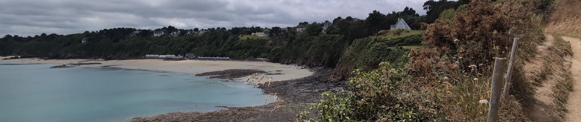
Photos
 - 2024 07 03 - Photo 1")
 - 2024 07 03 - Photo 2")
 - 2024 07 03 - Photo 3")
 - 2024 07 03 - Photo 4")
 - 2024 07 03 - Photo 5")
 - 2024 07 03 - Photo 6")
 - 2024 07 03 - Photo 7")
 - 2024 07 03 - Photo 8")
 - 2024 07 03 - Photo 9")
 - 2024 07 03 - Photo 10")
 - 2024 07 03 - Photo 11")
 - 2024 07 03 - Photo 12")
 - 2024 07 03 - Photo 13")
 - 2024 07 03 - Photo 14")
 - 2024 07 03 - Photo 15")
 - 2024 07 03 - Photo 16")
Positioning
Country:
France
Region :
Brittany
Department/Province :
Côtes-d'Armor
Municipality :
Tréveneuc
Location:
Unknown
Start:(Dec)
Start:(UTM)
510700 ; 5390447 (30U) N.
Comments