


Tour des arêtes de la Bruyère

cron
User
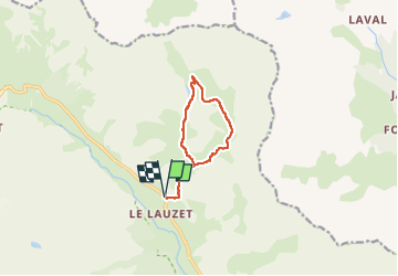

Length
9.4 km

Max alt
2430 m

Uphill gradient
735 m
Km-Effort
19.2 km

Min alt
1708 m

Downhill gradient
736 m
Boucle
Yes
Creation date :
2024-07-04 14:00:48.598
Updated on :
2024-07-08 16:17:43.81
4h21
Difficulty : Difficult

FREE GPS app for hiking
 SityTrail
IGN / Geographical institutes
SityTrail Plus
The world is yours!
About
Trail Walking of 9.4 km to be discovered at Provence-Alpes-Côte d'Azur, Hautes-Alpes, Le Monêtier-les-Bains. This trail is proposed by cron.
Description
A noter : l'itinéraire emprunte à la montée un passage en falaise assez raide mais entièrement équipé d'une main courante (câble).
Positioning
Country:
France
Region :
Provence-Alpes-Côte d'Azur
Department/Province :
Hautes-Alpes
Municipality :
Le Monêtier-les-Bains
Location:
Unknown
Start:(Dec)
Start:(UTM)
300317 ; 4988142 (32T) N.
Comments