


Campaniensis-FrontiA-re-VA-zelay-200220411

erisel
User

Length
397 km

Max alt
388 m

Uphill gradient
5340 m
Km-Effort
468 km

Min alt
63 m

Downhill gradient
5339 m
Boucle
No
Creation date :
2024-07-08 11:07:42.278
Updated on :
2024-07-08 11:07:42.278
106h22
Difficulty : Very difficult

FREE GPS app for hiking
 SityTrail
IGN / Geographical institutes
SityTrail Plus
The world is yours!
About
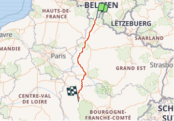
Trail Walking of 397 km to be discovered at Wallonia, Namur, Couvin. This trail is proposed by erisel.
Positioning
Country:
Belgium
Region :
Wallonia
Department/Province :
Namur
Municipality :
Couvin
Location:
Unknown
Start:(Dec)
Start:(UTM)
610556 ; 5536432 (31U) N.
Comments