


crête de Jamberoute

orsel
User GUIDE
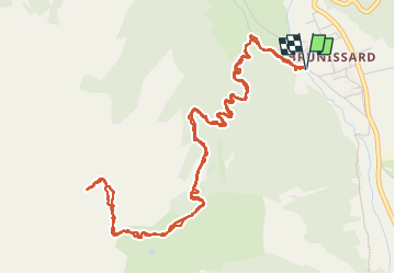

Length
7.7 km

Max alt
2599 m

Uphill gradient
807 m
Km-Effort
18.5 km

Min alt
1782 m

Downhill gradient
806 m
Boucle
Yes
Creation date :
2024-07-08 06:58:37.407
Updated on :
2024-07-08 13:27:06.947
4h27
Difficulty : Medium

FREE GPS app for hiking
 SityTrail
IGN / Geographical institutes
SityTrail Plus
The world is yours!
About
Trail Walking of 7.7 km to be discovered at Provence-Alpes-Côte d'Azur, Hautes-Alpes, Arvieux. This trail is proposed by orsel.
Positioning
Country:
France
Region :
Provence-Alpes-Côte d'Azur
Department/Province :
Hautes-Alpes
Municipality :
Arvieux
Location:
Unknown
Start:(Dec)
Start:(UTM)
320243 ; 4962444 (32T) N.
Comments